
Welcome to the website of the North East Coastal Observatory
The programme covers the coastline from the Scottish Border to Flamborough Head and commenced in its present guise in September 2008. It is presently designed to run until 2027.
The programme is managed on behalf of the North East Coastal Group and is funded by the Environment Agency, working in partnership with the maritime Local Authorities and other relevant bodies.
For a summary paper describing the inception of the programme click here and for a selection of outputs from the recently completed phase of the programme (2021) click here
This website collates all survey data that is being collected by the North East Coastal Observatory, such as:
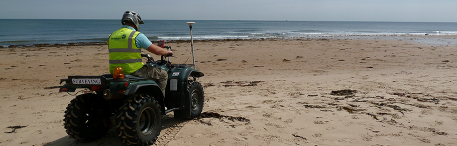
- beach profiles
- topographic surveys
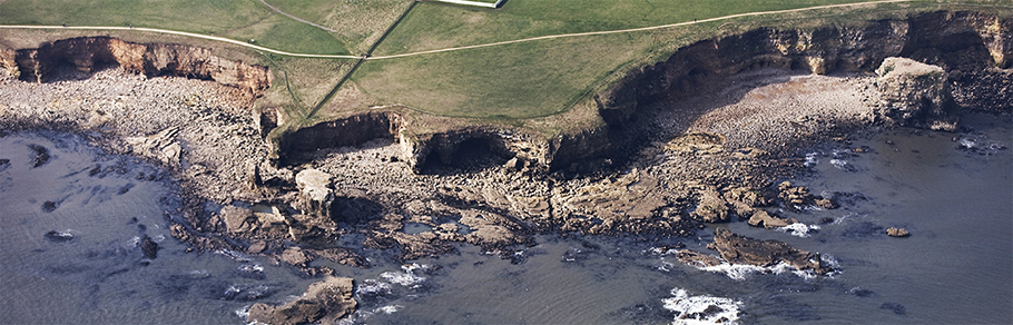
- cliff top recession surveys
- bathymetric and sea bed characterisation surveys
- wave data
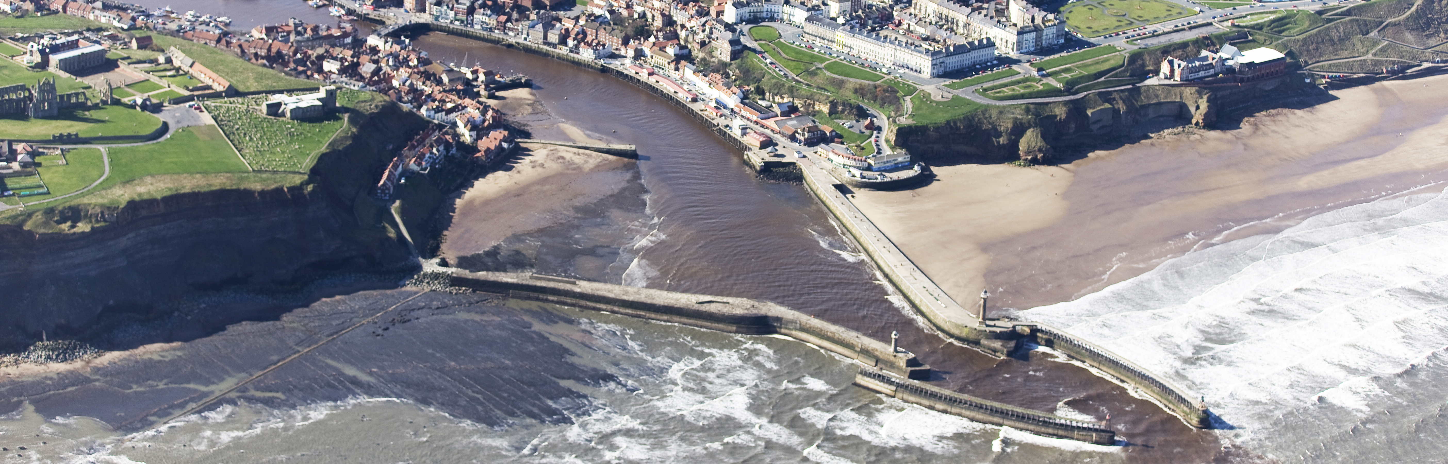
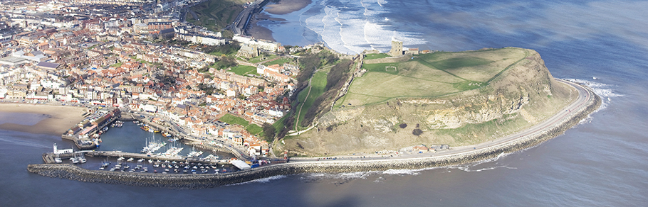
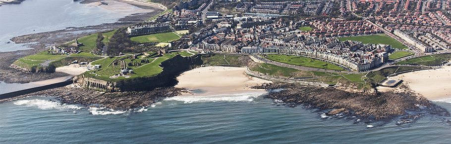
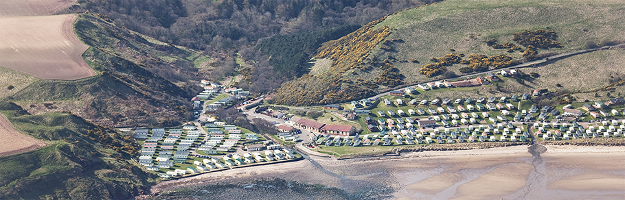
- aerial photographs
- LiDAR data
This website also contains the following reports:
- coastal defence inspections
- analytical reports
- overview reports
- local coastal monitoring reports
- Strategy and SMP reports
These data and reports can be downloaded from this site using the data tab in the above menu
The data can be downloaded from this site free of charge. All we ask you to do is register and agree to our Terms & Conditions.
You can also browse the map to view details on where and when data have been collected and select data for download. First select the layers to view from the legend and zoom to the area of interest using the navigation icons at the top left of the map. To add data to your cart you then need to specify a search area. To do this click on the ruler icon at the top of the map (right most icon) and then click on the map several times to define an area. Once you have your select area defined click on the 'Add To Cart' button below the map.